Niagara Driving Game
- Python
- Unity
- C#
- OpenStreetMap
- SRTM
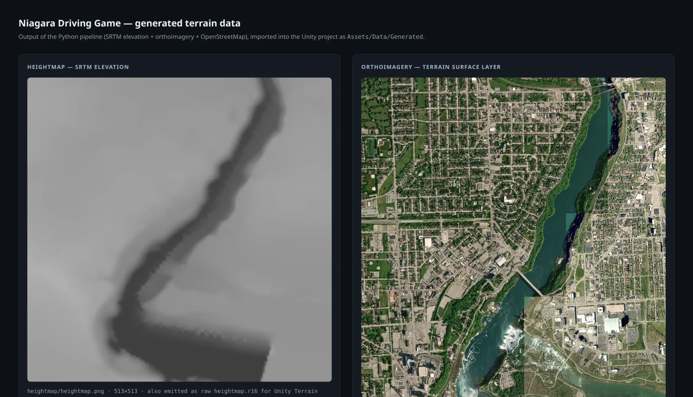
A five-stage Python pipeline turns public geographic data into a drivable world: it pulls the road network and building footprints from OpenStreetMap, elevation from SRTM, and satellite imagery for surface texture, then generates meshes and tiled textures that a Unity project imports through custom Editor tools.
Because the city is generated rather than modelled, regenerating it is a pipeline re-run instead of weeks of manual work — changing the bounding box in the config produces a different city entirely. The hard part is the seam between data sources: OpenStreetMap describes road topology with no elevation, SRTM provides elevation at a far coarser resolution, and roads have to sit convincingly on terrain that has no knowledge they exist.
The pipeline works end to end and produces imported Unity geometry. The game layer on top of it is still early — at this stage it is more a terrain-generation project than a finished game.